
Strong Earthquake Shakes Pakistan’s Northern Belt
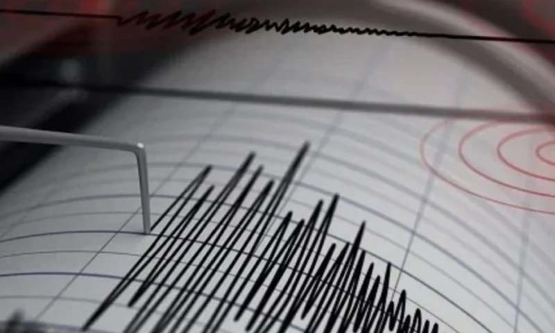
Pakistan experienced significant seismic activity on Tuesday night when a 5.3 magnitude earthquake rattled multiple cities across the country’s northern regions.
The tremors struck at approximately 11:15 PM, sending residents of Islamabad, Rawalpindi, Peshawar, Swat, Buner, Shangla, Kohat, Lower Dir, Mardan, Chitral, and Gilgit-Baltistan rushing outdoors for safety.
According to the Pakistan Meteorological Department (PMD), the earthquake’s epicenter was located in Afghanistan’s Hindu Kush region, positioned at a considerable depth of 234 kilometers beneath the Earth’s surface.
Witnesses across affected areas reported feeling sustained tremors lasting several seconds, prompting widespread panic. Families evacuated their homes, while office workers and residents of high-rise buildings moved quickly to open spaces, anticipating potential aftershocks.
Despite the earthquake’s intensity, authorities confirmed no immediate reports of casualties or structural damage across the impacted zones. Emergency response teams remain on high alert, continuously monitoring the situation.
The PMD has issued advisories urging citizens to maintain composure and adhere to established earthquake safety protocols. This seismic event follows a similar occurrence on October 17, when a 5.6 magnitude earthquake affected comparable regions.
Pakistan’s geographical position along major tectonic plate boundaries makes it vulnerable to frequent seismic activity. The boundary extends from Sonmiani through the country’s northern territories, though experts acknowledge the impossibility of accurately predicting earthquake timing despite advanced monitoring systems.